Common Deliverables
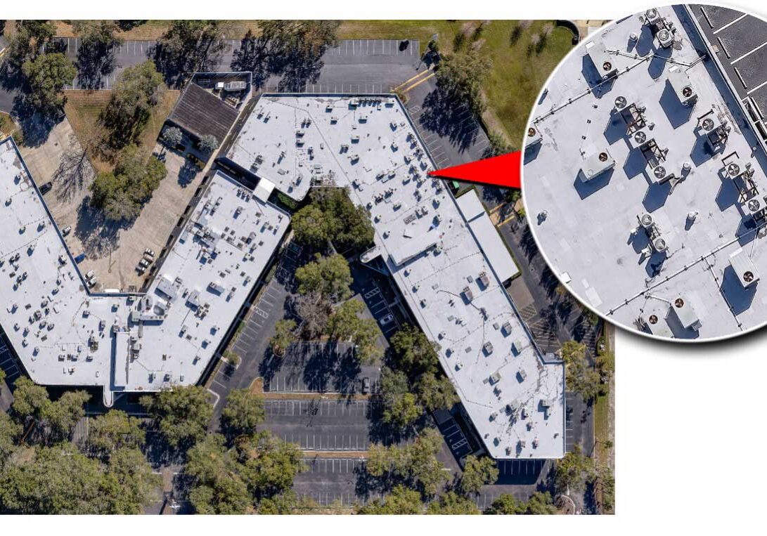
Orthomosaic Maps
Definition: A high-resolution, georeferenced map that corrects for distortions due to camera tilt and topography.
Usage: Ideal for detailed mapping and visualization of large areas.
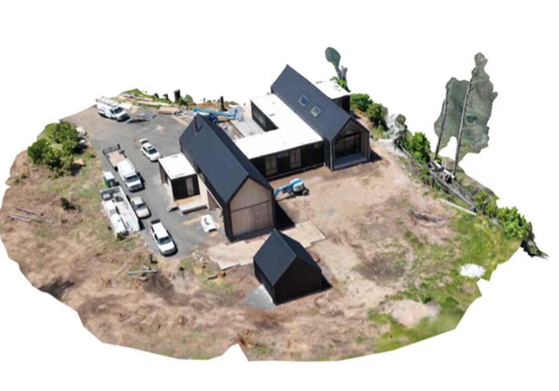
3D Models
Definition: Textured, photorealistic models created from a dense point cloud.
Usage: Used in industries like architecture, construction, archaeology, real estate, for visualization & analysis.
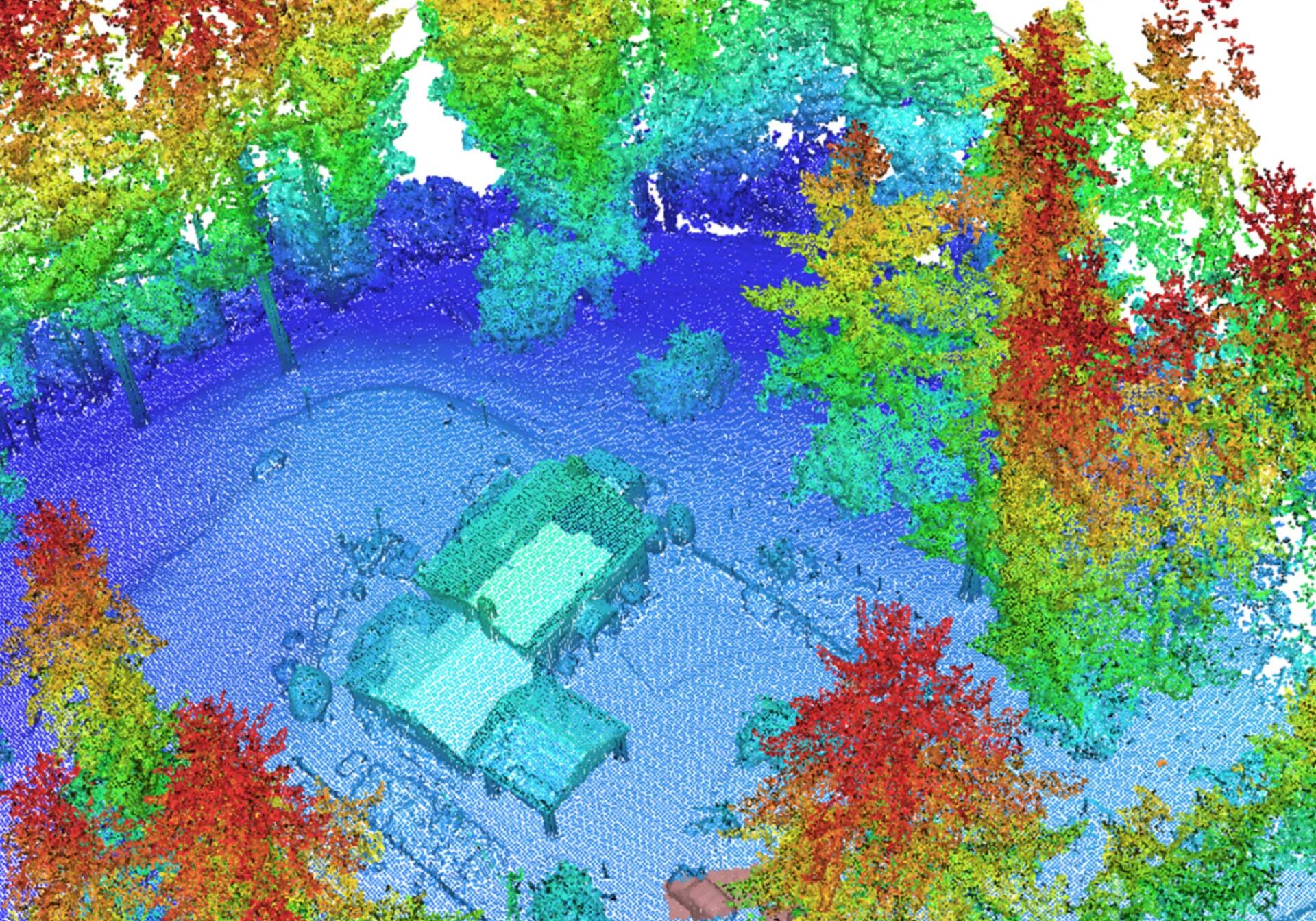
Point Clouds
Definition: A collection of data points in space, usually generated from multiple overlapping images.
Usage: Provides a detailed 3D representation of the surveyed area, used for further analysis & modeling.

Digital Elevation Models (DEMs)
Definition: A 3D representation of a terrain’s surface created from elevation data.
Usage: Used in various applications, including topographic mapping, flood modeling, and landscape analysis.
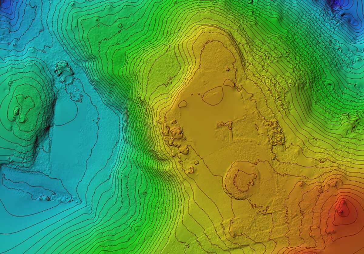
Digital Surface Models (DSMs)
Definition: Similar to DEMs but includes natural and built features on the Earth's surface.
Usage: Useful for urban planning, forestry, and environmental studies.
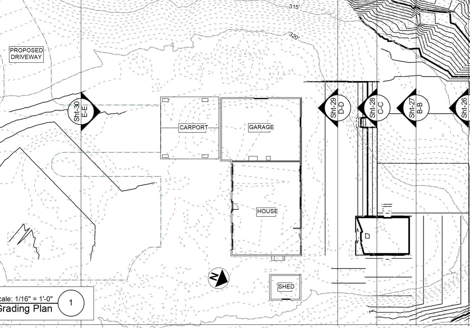
Contour Maps
Definition: Maps that display contour lines representing elevation changes.
Usage: Helpful in understanding terrain elevations and for planning construction projects.
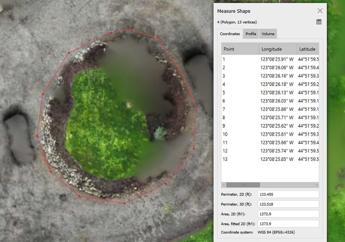
Volume Calculations
Definition: Measurements of stockpile volumes or cut-and-fill calculations.
Usage: Critical for mining, construction bidding & implementation, and material management.
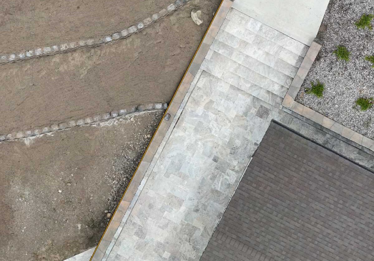
2D and 3D Measurements
Definition: Accurate measurements derived from the photogrammetry data.
Usage: Used for precise calculations in engineering and construction.
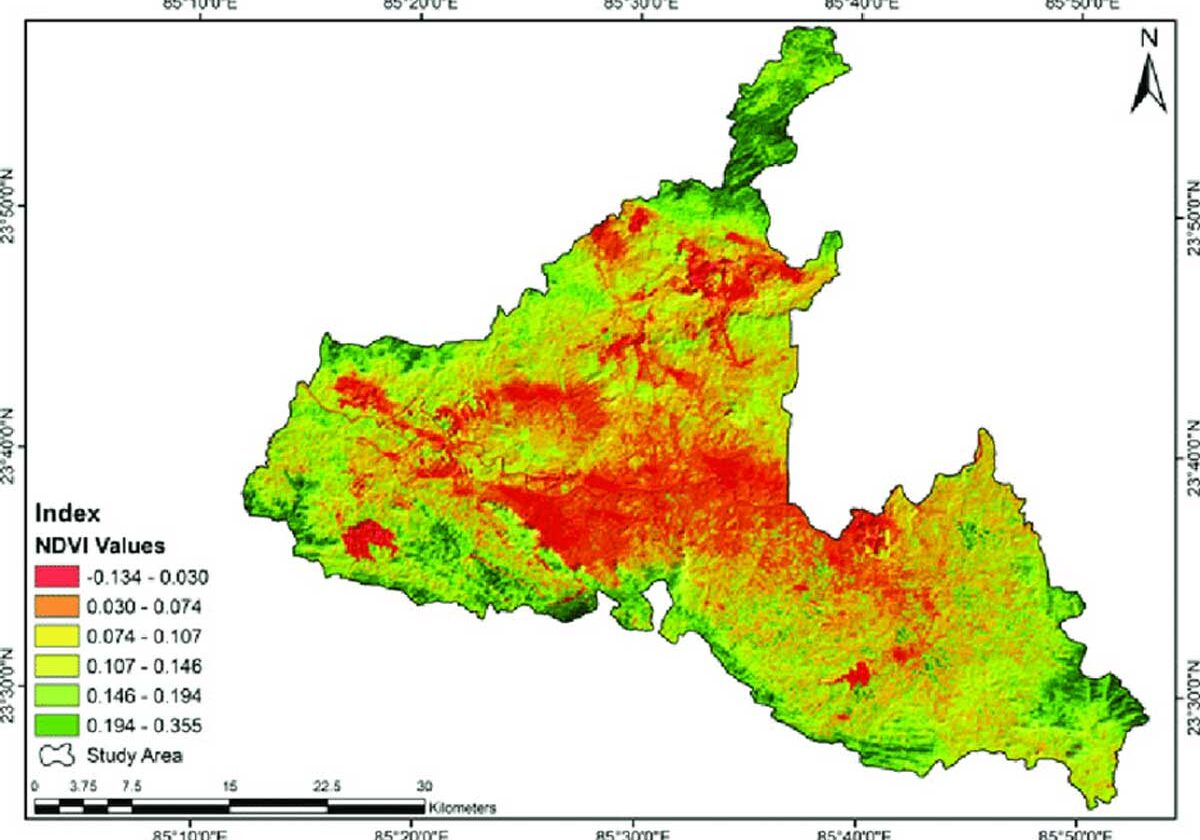
NDVI (Normalized Difference Vegetation Index)
Definition: An index used to analyze remote sensing measurements and assess whether the target being observed contains live green vegetation.
Usage: Common in agriculture for crop health monitoring.
Reports & Analysis
Definition: Detailed reports including analysis, findings, & recommendations based on the photogrammetry data.
Usage: Used for project planning, decision making, and presentations to stakeholders.