Unlock the power of precision
Site planning and development shouldn’t be a guessing game. Our photogrammetry technology will give you the accuracy you need to save time and money.
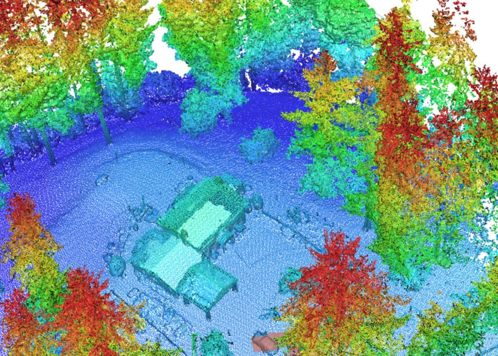
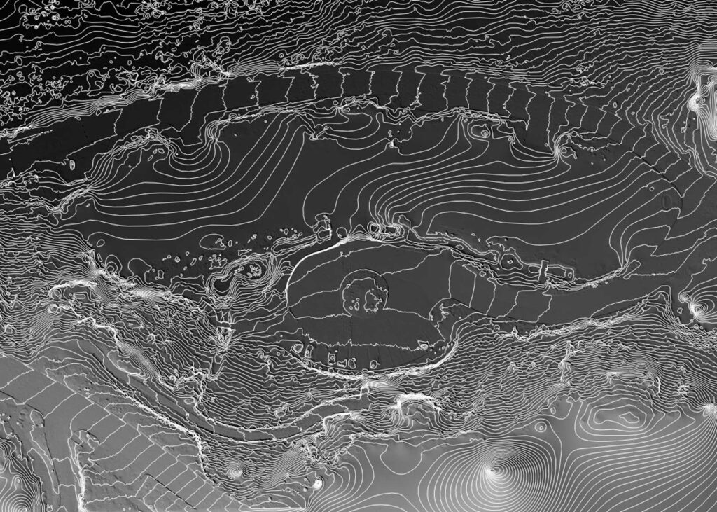
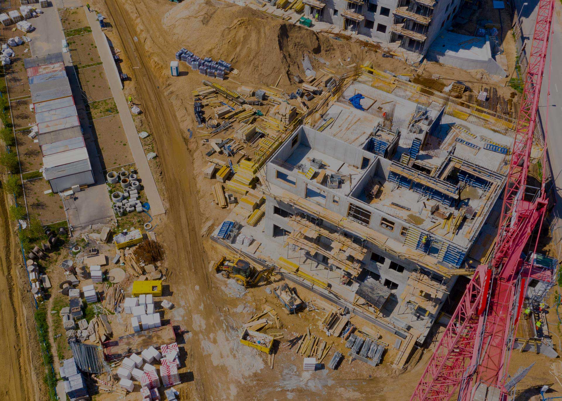
view existing conditions with confidence
Unmatched Accuracy
Capture every detail of existing conditions with our state-of-the-art photogrammetric technology. From topographical maps, to 3D point clouds, to models, we deliver an unparalleled precision essential for architectural, engineering and agricultural projects.

Fast Turnaround
No kidding, time is money. Our efficient processes ensure you get your results faster, keeping your projects on schedule.
Comprehensive Solutions
Whether you need aerial imaging, detailed site mapping, or construction monitoring, we’ve got you covered.
Expert Team
Our certified professionals bring expertise to every project, ensuring the highest quality outcomes.
Cutting-Edge Tech
Our processing saves time and money and minimizes costly miscalculations. Essential service for your next project.
Our Services
Client Success Stories
Discover how our photogrammetric services have transformed architectural projects by providing detailed insights into existing conditions.
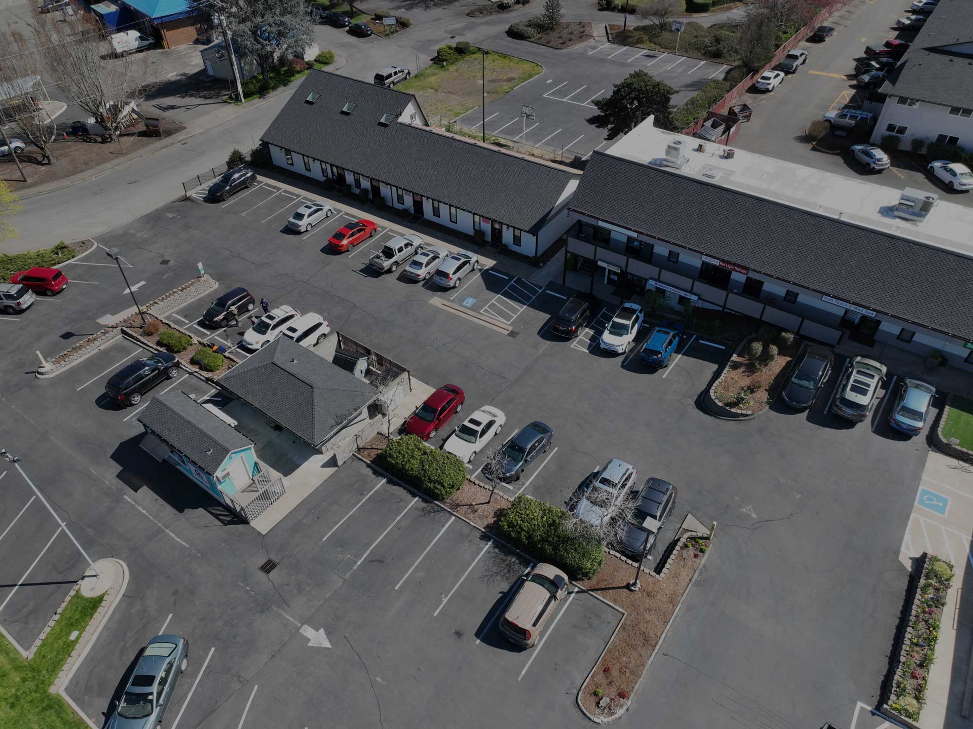
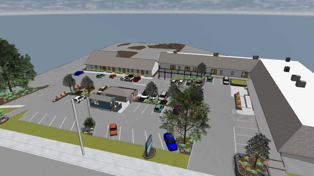
Tigard Shopping Center
This project involved a comprehensive redesign of all the beds within the commercial lot. Our team meticulously planned and executed the transformation to ensure a cohesive and aesthetically pleasing layout that meets the client’s needs.
- SERVICES: 3D Modeling, Aerial Imaging, Landscape Design
- CATEGORIES: Commercial Development
- EQUIPMENT: Mavic 3 Enterprise RTK, Mavic D-RTK 2
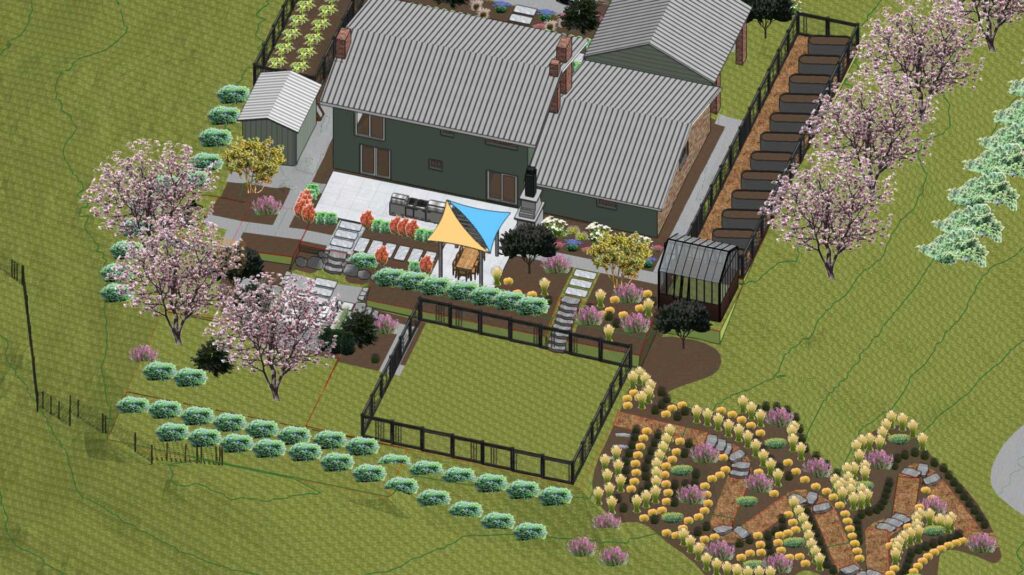
Residential Terracing & Driveway Entry
This site required a comprehensive grading plan to achieve the new terracing and the design of the driveway entry and parking area. The grading plan ensured proper elevation changes and facilitated the smooth transition between different levels of the site.
- SERVICES: 3D Modeling, Aerial Imaging, Grading Plan, Landscape Design
- CATEGORIES: Residential Development
- EQUIPMENT: Mavic 3 Enterprise RTK, Mavic D-RTK 2